| Magnitude | 4.0 |
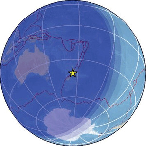
| Region | COOK STRAIT, NEW ZEALAND |
| Date time | 2026-05-02 15:15:17.8 UTC |
| Location | -41.051 ; 174.741 |
| Depth | 21 km |
| Distance | 24 km NW of Lower Hutt, New Zealand / pop: 101,000 / local time: 03:15:17.8 2026-05-03 13 km NW of Porirua, New Zealand / pop: 61,900 / local time: 03:15:17.8 2026-05-03 |
Source parameters provided by:
Geonet, GNS science -- Lower Hutt, New Zealand (GNS)
All data providers for this event:
Geonet, GNS science -- Lower Hutt, New Zealand (GNS)Further information can be found at:
GeoForschungsZentrum (GFZ) -- Potsdam, Germany (GFZ)Geonet, GNS science -- Lower Hutt, New Zealand (GNS)
National Earthquake Information Center, U.S. Geological Survey -- Golden, United States (NEIC)