| Magnitude | 4.2 |
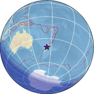
| Region | COOK STRAIT, NEW ZEALAND |
| Date time | 2026-04-30 22:57:26.9 UTC |
| Location | -40.702 ; 173.307 |
| Depth | 168 km |
| Distance | 139 km WNW of Wellington, New Zealand / pop: 381,000 / local time: 10:57:26.9 2026-05-01 54 km NNE of Motueka, New Zealand / pop: 7,400 / local time: 10:57:26.9 2026-05-01 |
Source parameters reviewed by a seismologist
All data providers for this event:
Geonet, GNS science -- Lower Hutt, New Zealand (GNS)Malaysian Meteorological Department -- Kuala Lumpur, Malaysia (MET)
Further information can be found at:
GeoForschungsZentrum (GFZ) -- Potsdam, Germany (GFZ)Geonet, GNS science -- Lower Hutt, New Zealand (GNS)
National Earthquake Information Center, U.S. Geological Survey -- Golden, United States (NEIC)