| Magnitude | 3.2 |
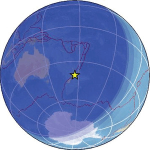
| Region | NORTH ISLAND OF NEW ZEALAND |
| Date time | 2026-04-27 14:24:07.9 UTC |
| Location | -40.733 ; 175.970 |
| Depth | 22 km |
| Distance | 104 km NE of Lower Hutt, New Zealand / pop: 101,000 / local time: 02:24:07.9 2026-04-28 36 km NE of Masterton, New Zealand / pop: 28,200 / local time: 02:24:07.9 2026-04-28 |
Source parameters provided by:
Geonet, GNS science -- Lower Hutt, New Zealand (GNS)
All data providers for this event:
Geonet, GNS science -- Lower Hutt, New Zealand (GNS)Further information can be found at:
National Earthquake Information Center, U.S. Geological Survey -- Golden, United States (NEIC)Geonet, GNS science -- Lower Hutt, New Zealand (GNS)
GeoForschungsZentrum (GFZ) -- Potsdam, Germany (GFZ)