| Magnitude | 3.2 |
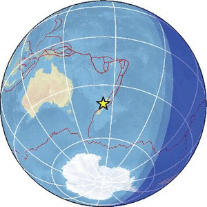
| Region | OFF W. COAST OF S. ISLAND, N.Z. |
| Date time | 2026-02-18 04:44:17.9 UTC |
| Location | -40.587 ; 172.999 |
| Depth | 10 km |
| Distance | 168 km WNW of Wellington, New Zealand / pop: 381,000 / local time: 17:44:17.9 2026-02-18 34 km NNE of Takaka, New Zealand / pop: 1,300 / local time: 17:44:17.9 2026-02-18 |
Source parameters provided by:
Geonet, GNS science -- Lower Hutt, New Zealand (GNS)
All data providers for this event:
Geonet, GNS science -- Lower Hutt, New Zealand (GNS)Further information can be found at:
GeoForschungsZentrum (GFZ) -- Potsdam, Germany (GFZ)Geonet, GNS science -- Lower Hutt, New Zealand (GNS)
National Earthquake Information Center, U.S. Geological Survey -- Golden, United States (NEIC)