| Magnitude | 4.6 |
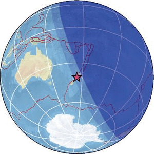
| Region | COOK STRAIT, NEW ZEALAND |
| Date time | 2026-02-16 08:04:27.1 UTC |
| Location | -40.781 ; 174.634 |
| Depth | 91 km |
| Distance | 54 km NW of Lower Hutt, New Zealand / pop: 101,000 / local time: 21:04:27.1 2026-02-16 36 km WNW of Paraparaumu, New Zealand / pop: 30,600 / local time: 21:04:27.1 2026-02-16 |
Source parameters reviewed by a seismologist
All data providers for this event:
Geonet, GNS science -- Lower Hutt, New Zealand (GNS)National Earthquake Information Center, U.S. Geological Survey -- Golden, United States (NEIC)
Further information can be found at:
GeoForschungsZentrum (GFZ) -- Potsdam, Germany (GFZ)Geonet, GNS science -- Lower Hutt, New Zealand (GNS)
National Earthquake Information Center, U.S. Geological Survey -- Golden, United States (NEIC)